Hiking
 Classic · VinicuncaUS$ 29
 Red Valley + VinicuncaUS$ 29
Quad · ATV
 Vinicunca quadUS$ 70
Red Valley + quadUS$ 75
Classic · VinicuncaUS$ 29
Red Valley + VinicuncaUS$ 29
Vinicunca quadUS$ 70
Red Valley + quadUS$ 75
Vinicunca quadUS$ 70
Red Valley + quadUS$ 75
Classic · VinicuncaUS$ 29
Red Valley + VinicuncaUS$ 29
Vinicunca quadUS$ 70
Red Valley + quadUS$ 75
What the mountain actually is: where it stands, why the slopes are striped, who looks after it, and how it went from unknown to one of the most visited places in Peru.
Vinicunca — Winikunka in Quechua, and Montaña de Colores in Spanish — lies in the Vilcanota range, in the district of Pitumarca, Canchis province, about three hours south of Cusco. The viewpoint sits at 5,090m, some 1,740m above the city, on a ridge that faces the glacier of Ausangate at 6,384m. The land belongs to the highland communities that have grazed alpacas here for generations, and it is they who manage access, collect the entrance fee and run the horses you see on the trail.
Higher than any point most travellers have stood on, and 1,740m above Cusco itself.
The most important apu of the southern Andes, at 6,384m, dominates the view from the ridge.
The route crosses working pasture. The herds and the families you pass are not part of the show.
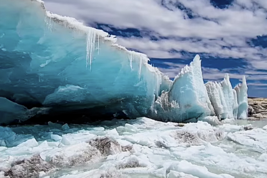
The colours are not paint, dye or filter. The Vilcanota range is built from sedimentary layers deposited over millions of years, each carrying different minerals, and tectonic movement later tilted the whole stack. Where erosion cut through it, the layers show as bands across the slope.
The same geology surfaces at Palcoyo and Pallay Punchu, which is why the region has three coloured mountains rather than one.
| Detail | Vinicunca |
|---|---|
| Quechua name | Winikunka — “coloured mountain” |
| Altitude | 5,090m (16,700 ft) |
| Range | Vilcanota, southern Andes |
| District | Pitumarca, Canchis province, Cusco region |
| Distance from Cusco | About 3 hours by road, via Cusipata |
| Trailhead | Phulawasipata, 4,650m |
| Nearest glacier | Ausangate, 6,384m |
| Managed by | The local highland communities |
Tap a column header to highlight it
For most of its history the ridge was covered in snow and ice, and the colours simply were not visible. As the ice retreated the layers emerged, and by the mid-2010s photographs began circulating online. Within a few years a mountain that no guidebook mentioned was receiving thousands of visitors a week, and the communities around it organised themselves to manage access, build the trail and run the services along it.
That history explains two things travellers often ask about: why an ancient landscape has no ancient tourist infrastructure, and why the entrance fee is collected by the community rather than by the state.

Stay on the marked path. The colours sit in soft, weathered rock, and footprints across the slope take years to fade. Take your rubbish back down with you, ask before photographing people or their animals, and pay the community fees without haggling — they are what keeps the trail maintained and the families working at home rather than migrating.
Almost everyone comes on a day tour from Cusco. The hiking route starts at Phulawasipata at 4,650m and takes about an hour and a half; the ATV route covers most of that on a quad. There is no direct public transport to the trailhead, and access is controlled by the community. See how to get there for the options.
Reserve online in under two minutes — instant confirmation, secure checkout.
Complete your Peru adventure with these expert-guided full day experiences.



"Life is short and the world is vast — the sooner you start exploring it, the better."